![]()
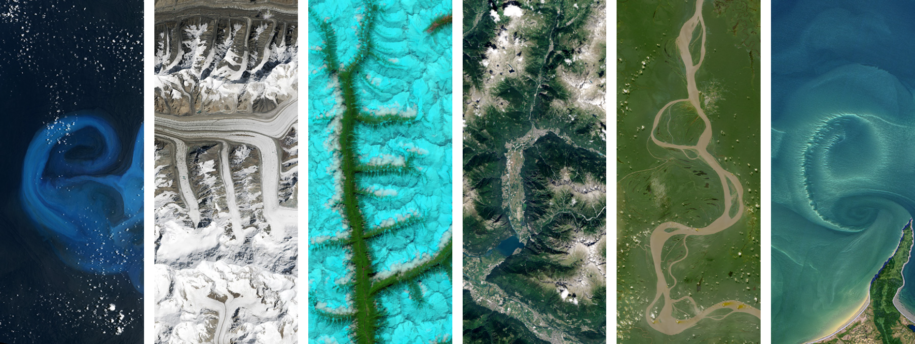
Vegetation & Water Indices#
Is it Green? Is it Wet? Calculating and visualizing Normalized Difference Vegetation Index (NDVI) & Normalized Difference Water Index (NDWI) from satellite imagery.
import folium
import ee
import geemap
from datetime import datetime, timedelta

# Authenticate your Google account with Earth Engine
ee.Authenticate()

# Write your project ID here, in quotes
ee.Initialize(project = "emerge-lessons")
def add_ee_layer(self, ee_image_object, vis_params, name):
"""Adds a method for displaying Earth Engine image tiles to folium map."""
map_id_dict = ee.Image(ee_image_object).getMapId(vis_params)
folium.raster_layers.TileLayer(
tiles=map_id_dict['tile_fetcher'].url_format,
attr='Map Data © <a href="https://earthengine.google.com/">Google Earth Engine</a>',
name=name,
overlay=True,
control=True
).add_to(self)
folium.Map.add_ee_layer = add_ee_layer
Draw a circle around an input point, which will be used to clip the satellite image.
# Region of interest
point = ee.Geometry.Point(-81.660044, 28.473813)
region = point.buffer(distance=100000)
Get Sentinel-2 satellite images that match our location and date range, with less than 10% cloud cover.
collection = ee.ImageCollection('COPERNICUS/S2_SR_HARMONIZED') \
    .filterBounds(region) \
    .filterDate('2024-04-01', '2024-06-01') \
    .filter(ee.Filter.lte('CLOUDY_PIXEL_PERCENTAGE', 10))
Take the median value of the images in our collection, which helps to remove “messy” data such as clouds.
image = collection.median().clip(region)
Calculate NDVI (normalized difference vegetation index) from the image, which shows how healthy the plants are.
High NDVI = more green plants
Formula: (NIR - RED) / (NIR + RED)
ndvi = image.normalizedDifference(['B8', 'B4']).rename('NDVI')
Calculate NDWI (normalized difference water index) from the image, which shows where the water is.
High NDWI = more water
Formula: (GREEN - NIR) / (GREEN + NIR)
ndwi = image.normalizedDifference(['B3', 'B8']).rename('NDWI')
Set up an interactive map and center it over Florida.
map = folium.Map(location=[28.473813, -81.660044], tiles="Cartodb dark_matter", zoom_start=8)
Add the NDVI (vegetation) layer to the map, coloring high values green.
map.add_ee_layer(ndvi, {'min': 0, 'max': 1, 'palette': ['white', 'green']}, 'NDVI')
Add the NDWI (water) layer to the map, coloring high values blue.
map.add_ee_layer(ndwi, {'min': -1, 'max': 1, 'palette': ['white', 'blue']}, 'NDWI')
Show the map, with a layer control section in the top right to allow us to show or hide each layer.
folium.LayerControl(collapsed = False).add_to(map)
display(map)
In the interactive map above, click on the check box next to NDWI to hide the layer, showing NDVI below it. You can click the check box again to show NDWI again.